Mapping for Change in Cherthala!
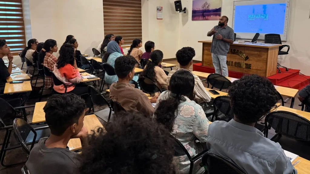
Activities A one-week Mapathon has kicked off in Cherthala Municipality as part of a student internship initiative under the Vembanad Rejuvenation Project.📅 Launched on June

Activities A one-week Mapathon has kicked off in Cherthala Municipality as part of a student internship initiative under the Vembanad Rejuvenation Project.📅 Launched on June
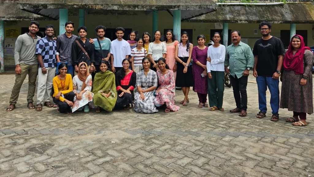
Activities As part of the Vembanad Rejuvenation Project, led by the District Collector of Alappuzha, a student training session was held on May 23, 2025,
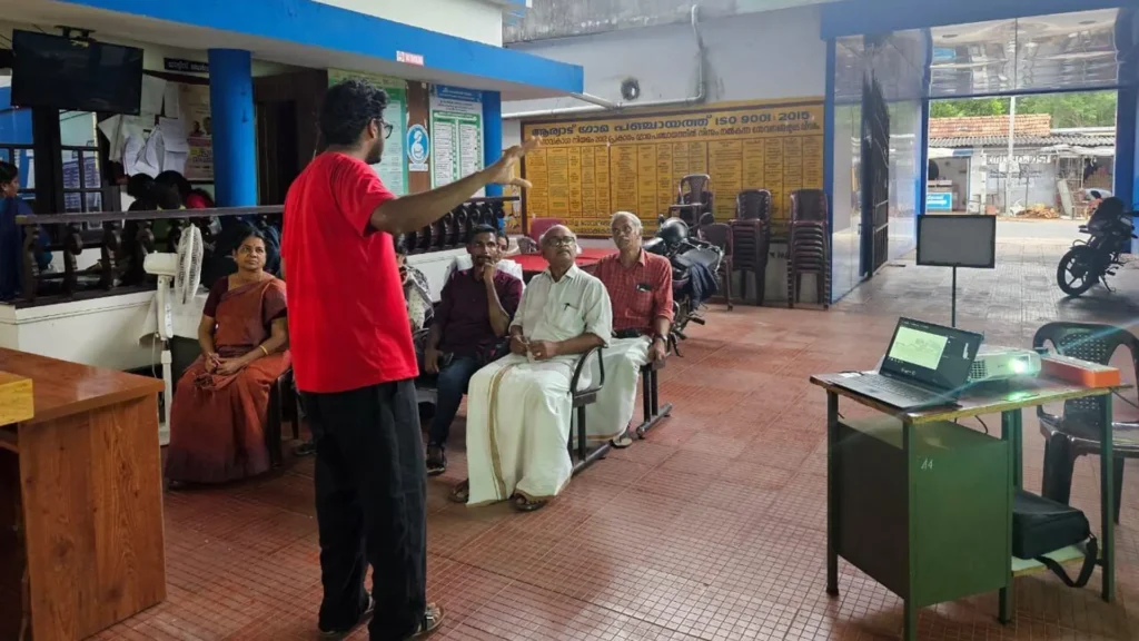
Activities On May 21, 2025, a stakeholder meeting was held at hashtag#Aryad Grama Panchayat as part of the Vembanad Rejuvenation Project, led by the District
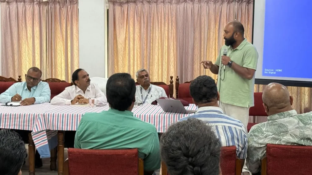
Activities At Technology and Governance Support Forum and the Living Lab Alleppey we recently conducted a pilot survey to estimate the waste leakage from houseboats
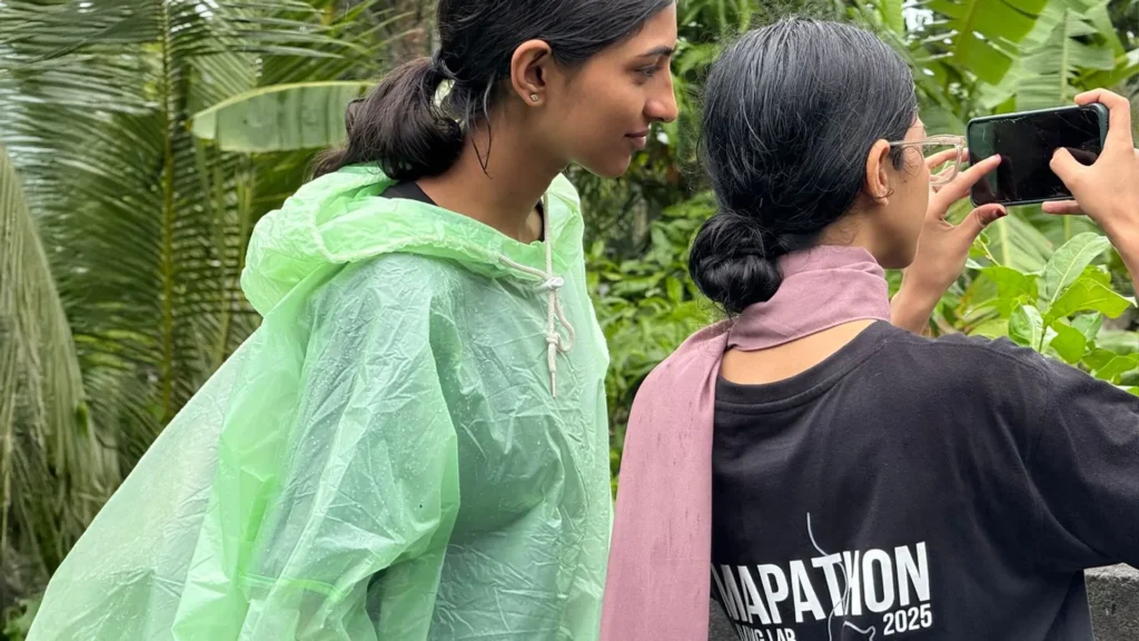
Activities In Cherthala Municipality, Alappuzha district, we Technology and Governance Support Forum and Living Lab Alleppey recently completed a full-scale demonstration of canal and drainage
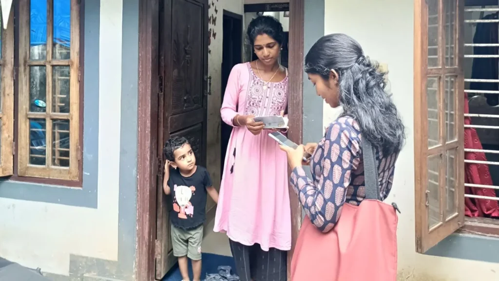
Activities As part of the Vembanad Rejuvenation Project led by the District Collector of Alappuzha, the Household Sanitation Survey has started in Mannanchery Grama Panchayat
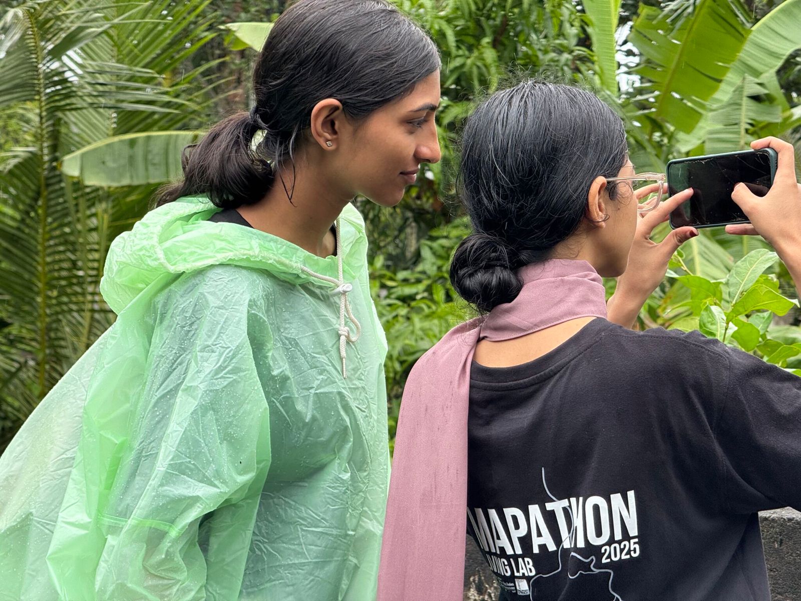
In Cherthala Municipality, Alappuzha district, we Technology and Governance Support Forum and Living Lab Alleppey recently completed a full-scale demonstration of canal and drainage mapping—documenting the length, width, and connectivity of every stream using digital tools and a technically grounded, low-cost approach. Developed through multiple pilots and iterations, this effort was conducted by the civil engineering students from CUCEK, supported by technical experts.
The coastal districts of Alappuzha and Ernakulam (Kochi) sit on a landscape that emerged through millennia of sedimentation, shifting sea levels, and riverine discharge. These processes led to the formation of the landmass between the Arabian Sea and Vembanad Lake. As this land developed, a dense network of surface water streams and canals evolved—facilitating drainage, retention, and flow across the coastal plain. These canals are not incidental; they remain critical for flood regulation, salinity control, and sustaining natural hydrological processes.
Yet, the lack of reliable spatial records has rendered many of these canals effectively invisible. Most are missing from old survey maps, and with growing urbanisation, many have been encroached upon or lost—often without trace. Their absence in public datasets and governance systems poses serious risks to water management and urban resilience.
➡️ The mapping we’ve undertaken is not the end—it is the foundational layer for a real-time digital canal observatory, which can track the physical profile and flow of canals over time. Such an observatory will require a shared effort in data generation, grounded in local knowledge and technical rigour.
We are now shaping this approach into a standardised hashtag#protocol and hashtag#learning module, suitable for uptake by hashtag#engineering hashtag#colleges, civic institutions, and hashtag#local hashtag#governments. As this work scales, there is immense value in collaborative efforts to map, document, and make visible these urban water systems—especially across Alappuzha and Kochi, where the stakes are high.
🧭 Mapping is not just about data—it’s about restoring a region’s ecological memory, and enabling institutions to act on it.