
Mapping for Change in Cherthala!
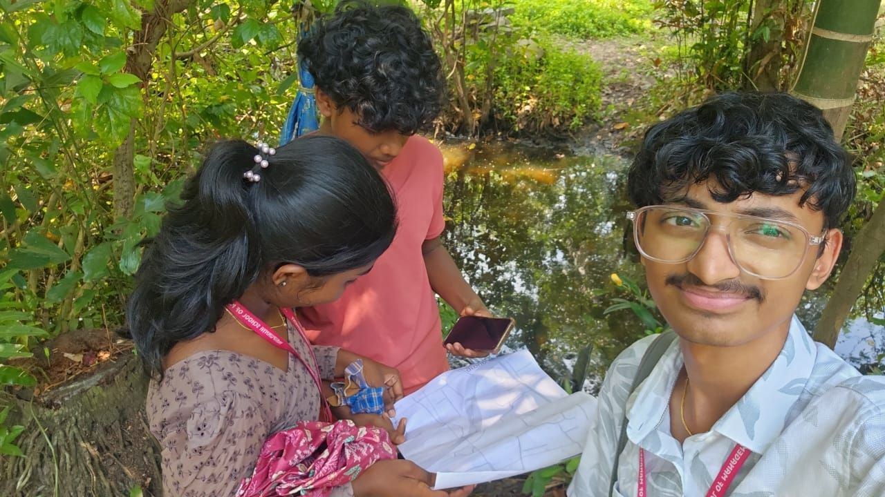
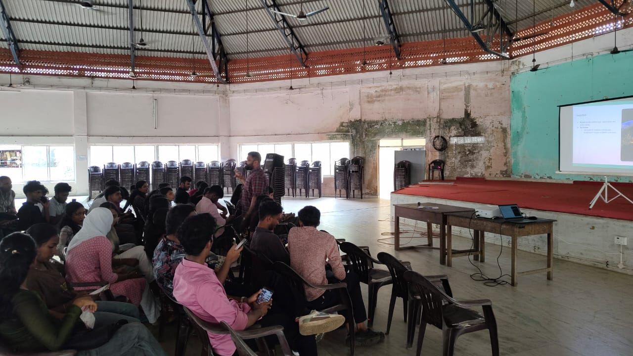
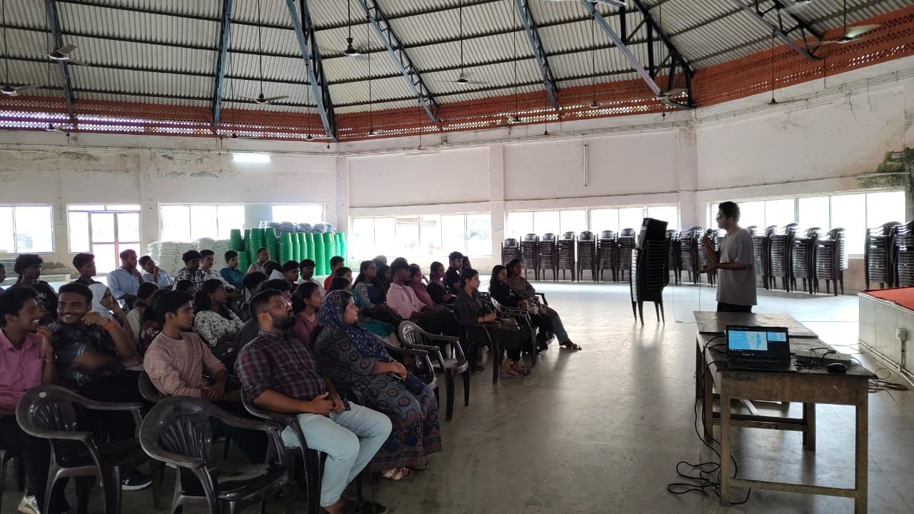
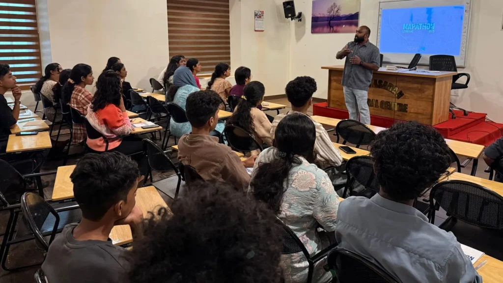
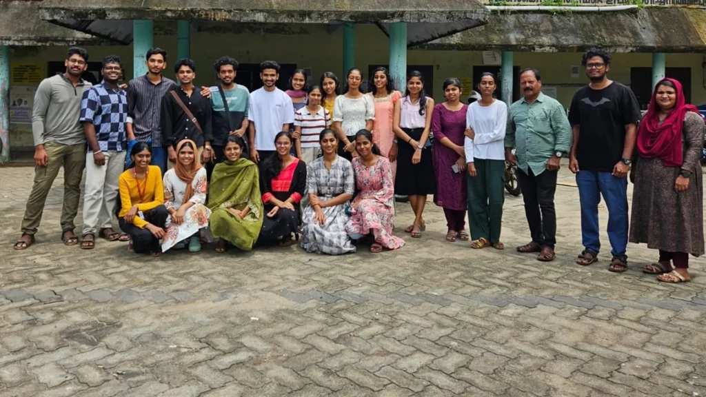
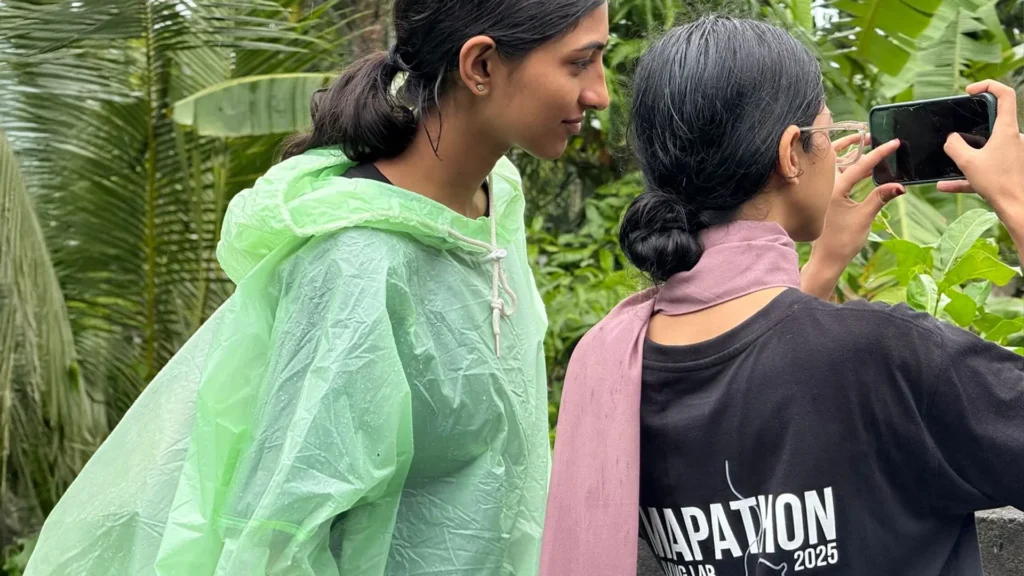
Activities A one-week Mapathon has kicked off in Cherthala Municipality as part of a student internship initiative under the Vembanad Rejuvenation Project.๐ Launched on June
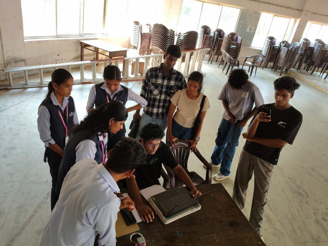
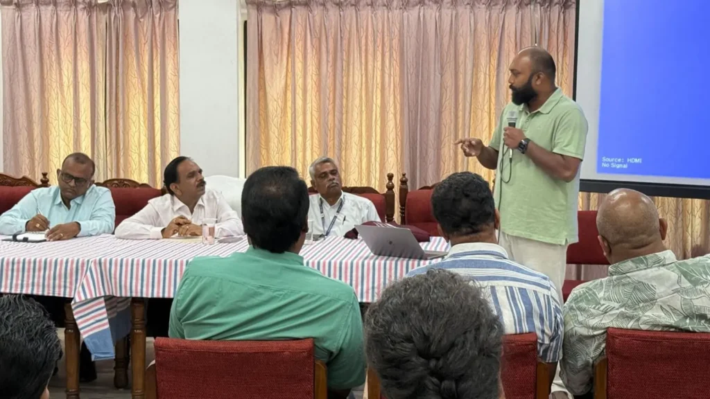
Activities As part of the Vembanad Rejuvenation Project, led by the District Collector of Alappuzha, a student training session was held on May 23, 2025,
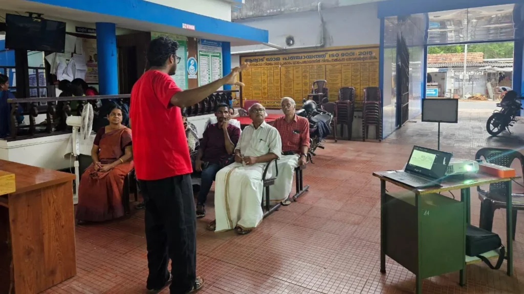
Activities On May 21, 2025, a stakeholder meeting was held at hashtag#Aryad Grama Panchayat as part of the Vembanad Rejuvenation Project, led by the District
Activities At Technology and Governance Support Forum and the Living Lab Alleppey we recently conducted a pilot survey to estimate the waste leakage from houseboats
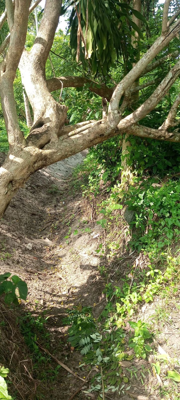
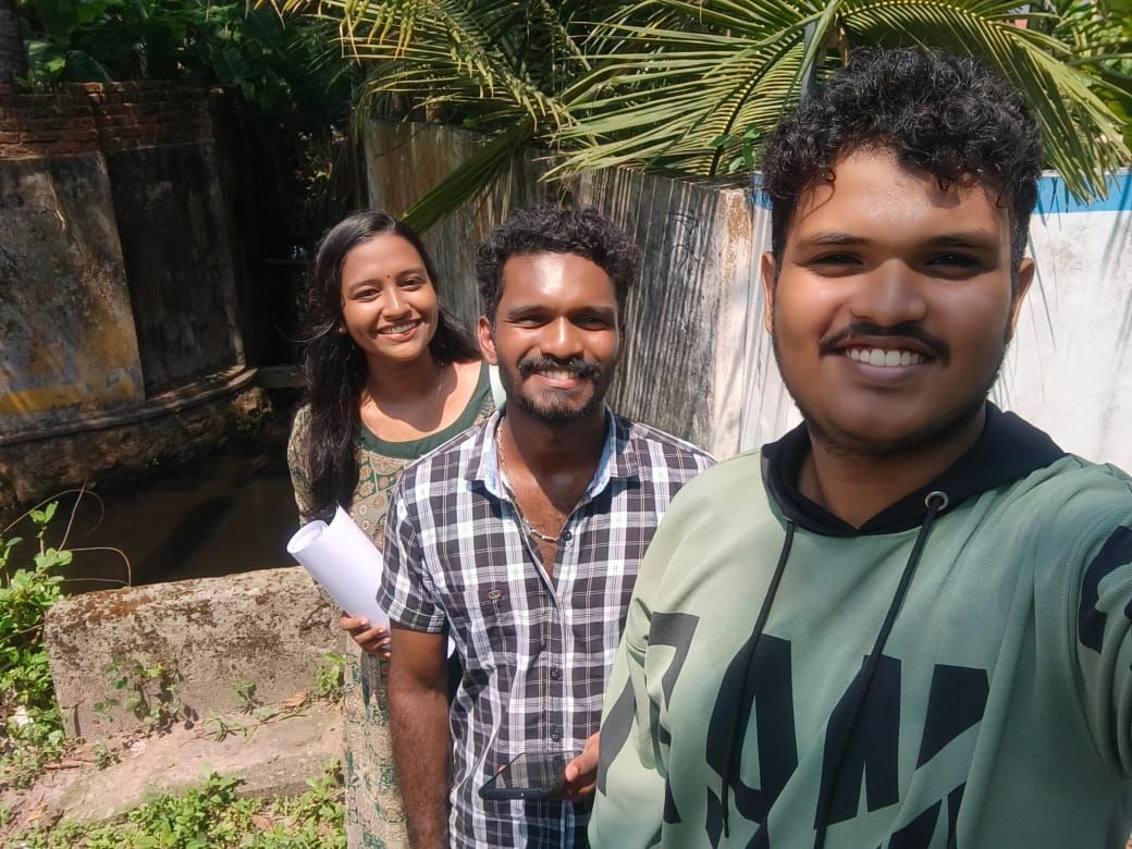
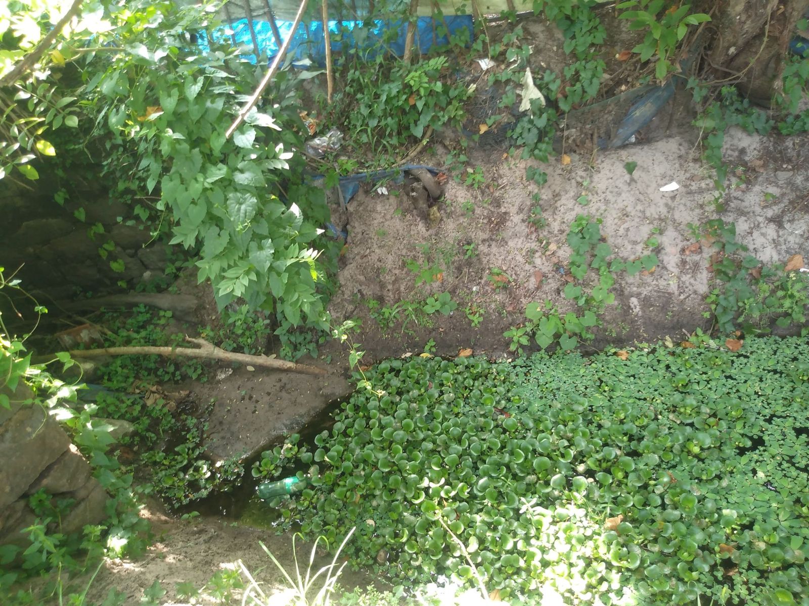
Activities In Cherthala Municipality, Alappuzha district, we Technology and Governance Support Forum and Living Lab Alleppey recently completed a full-scale demonstration of canal and drainage
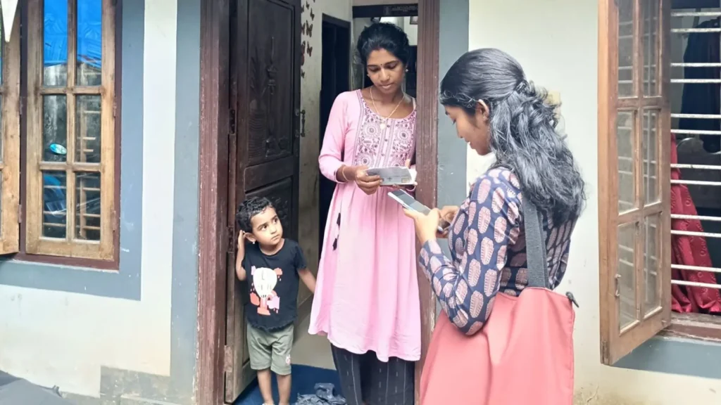
Activities As part of the Vembanad Rejuvenation Project led by the District Collector of Alappuzha, the Household Sanitation Survey has started in Mannanchery Grama Panchayat
As part of the Vembanad Rejuvenation Project of District Collector Alappuzha, Cherthala Municipality has been selected as the pilot location for conducting the first sanitation survey. A stakeholder meeting held on April 24, 2025, brought together the Municipal Chairperson, councillors, MGNREGS representatives, and other local stakeholders. The Living Lab Alleppey team presented the proposed methodology and discussed requirements for effective implementation.
This was followed by a training session on April 25, where 50 students from SNGM College Thuravoor, NSS College Cherthala, Naipunya College Cherthala, and AES College Ambalappuzha were introduced to canal mapping techniques using the Geo Tracker mobile app. The session included practical exercises to prepare them for fieldwork.
On April 26, 24 student teams carried out the first round of canal mapping, assisted by local residents who guided them along assigned stretches. Students assembled at 8:00 a.m. and completed the task by noon, after which their data was reviewed by the Living Lab team.
Since some sections remained unmapped, a second mapping round was held on April 29, with 33 students covering the remaining grids. Armed with printed maps and mobile tools, the teams traced and tracked canal routes across the area.
This collaborative effort marks a significant step in combining community knowledge, youth engagement, and digital tools to address sanitation and restore our water bodies.